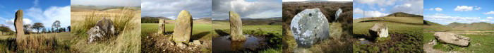
| 075
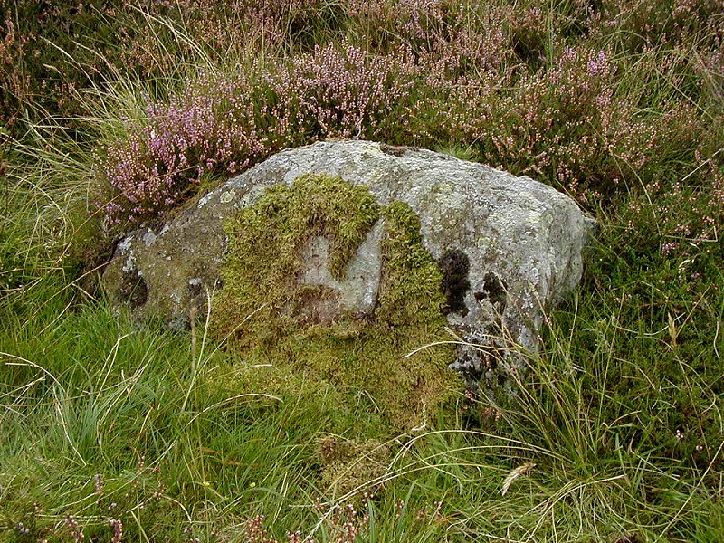
Boundary Stone, White Meldon, Peebles. |
Prev |
Next |
Description
It was by pure chance that this stone came to light. I was
browsing an online mapping database at work and noticed a
"stone" marked on an 1859 Ordnance Survey map. It was
something I had to check out, having walked in that area on many
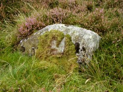
occasions. This plain, irregular stone is nothing special,
measuring 0.85m long and approx. 0.65 x 0.40m and lies recumbent
in the deep heather moor to the north of White Meldon. Much of
the stone is hidden and it is difficult to tell if it once stood
upright.
Directions
From Peebles take the A72 Glasgow road. After 4 miles turn right
onto minor road for Eddleston. After approx. 4 miles stop in
parking area at entrance to Nether Stewarton forest. Cross the
tarmac road and carefully climb over the fence. Ascend the short
ridge and follow the line of conifers to the north. The stone is
before where the trees end and about 40m towards White Meldon. The
use of GPS is highly recommended.
Parking
By road side or entrance to Nether Stewarton forest.
Fieldnotes
Actually finding this stone took some time as there are few
landmarks to work from and the quality of the print out from the
online 1859 map was very poor. However, after about an hour, the
stone was finally located. As mentioned on the details page,
it's nothing to shout about but it had been marked by early
surveyors and they must have had a reason for doing so. One clue
is noted on the map itself. The word "Und.", probably
an abbreviation of "Undefined" relating to a boundary,
suggesting this is a lost boundary stone.
Researching Canmore, the online database managed
by RCAHMS, shows the remains of a burnt mound at NT 2205 4365,
not far from this location and this may indicate the stone had
some significance in the past.
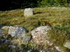
There are few other features in this area, which is almost
entirely devoid of stones, although there are numerous stones
some way to the west, towards the Lyne - Eddleston road. With
stones such as this, that initially appear to be just a plain
old stone, lying forgotten on the hillside, it is always worth
looking that little bit harder, just in case its something other
than just any old stone. The fact that this stone exists when
there are no other stones nearby, suggest it is there for a
reason, in this instance, a probable boundary stone.
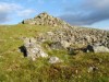
If you approach this stone from the parking area at the
entrance to Nether Stewarton forest, you will see a shallow
cutting in the low ridge between yourself and the area where the
stone lies. The cutting in the face of the ridge suggests an old
trackway heading in the direction of the stone. It is difficult
to see any obvious signs of this track near the stone but it may
have once existed. A connection, perhaps?
|