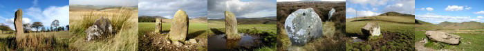
| 024
Riding Stane, Sunderland Hall, Selkirk. |
Prev |
Next |
Description
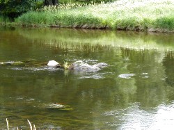
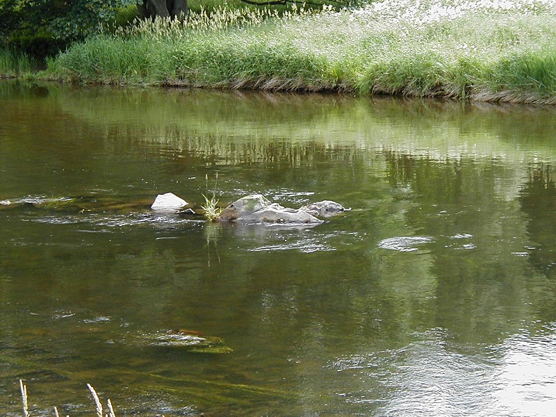
The Riding Stane appears to be simply a large boulder or
possibly natural bedrock located in the middle of the River
Tweed between The Rink and Sunderland Hall, near Selkirk. There
are other stones at the same location.
Directions
The stone is best reached from Yair Bridge on the A707 from
Selkirk to Caddonfoot. On foot, follow the B7060 a short way and
take the farm track leading downstream along the north bank.
Parking
A small lay-by can be seen under the trees just south of Yair
Bridge on the B7060. There is also a parking area across the river
at the entrance to Lindinny Wood.
Folklore
The stone's name may have been derived from 'rhyd' an
Old Welsh word for a river crossing or ford. There does
appear to be some indication on the south bank that the
location was used as a crossing place in the past. The stone
may have acted as both a marker for the ford as well as
giving a visible indication to the depth of the river and
hence if safe to cross. If you can see the stone, it is safe
to cross. If not, the water is too deep for safe crossing.
Fieldnotes
I found a reference to the Riding Stone in a small local
interest booklet, Walter's Tales of the Borders by Walter
Elliot. It is not shown on the Ordnance Survey's Explorer or
Pathfinder Series of maps but can be seen easily of the water
level is low enough. Your best bet of seeing this stone is
during the summer months when the River Tweed is not in flood.
Two other similar stones have been found in the region. One is
the Coot Stone near Walkerburn and the other is the Cuddy Stane
near Sprouston, Kelso, however, this stone has not been
confirmed as yet.
|